
Ironfin
WorkFor consultantsStudioContact
519.803.7274
contact@ironfin.com
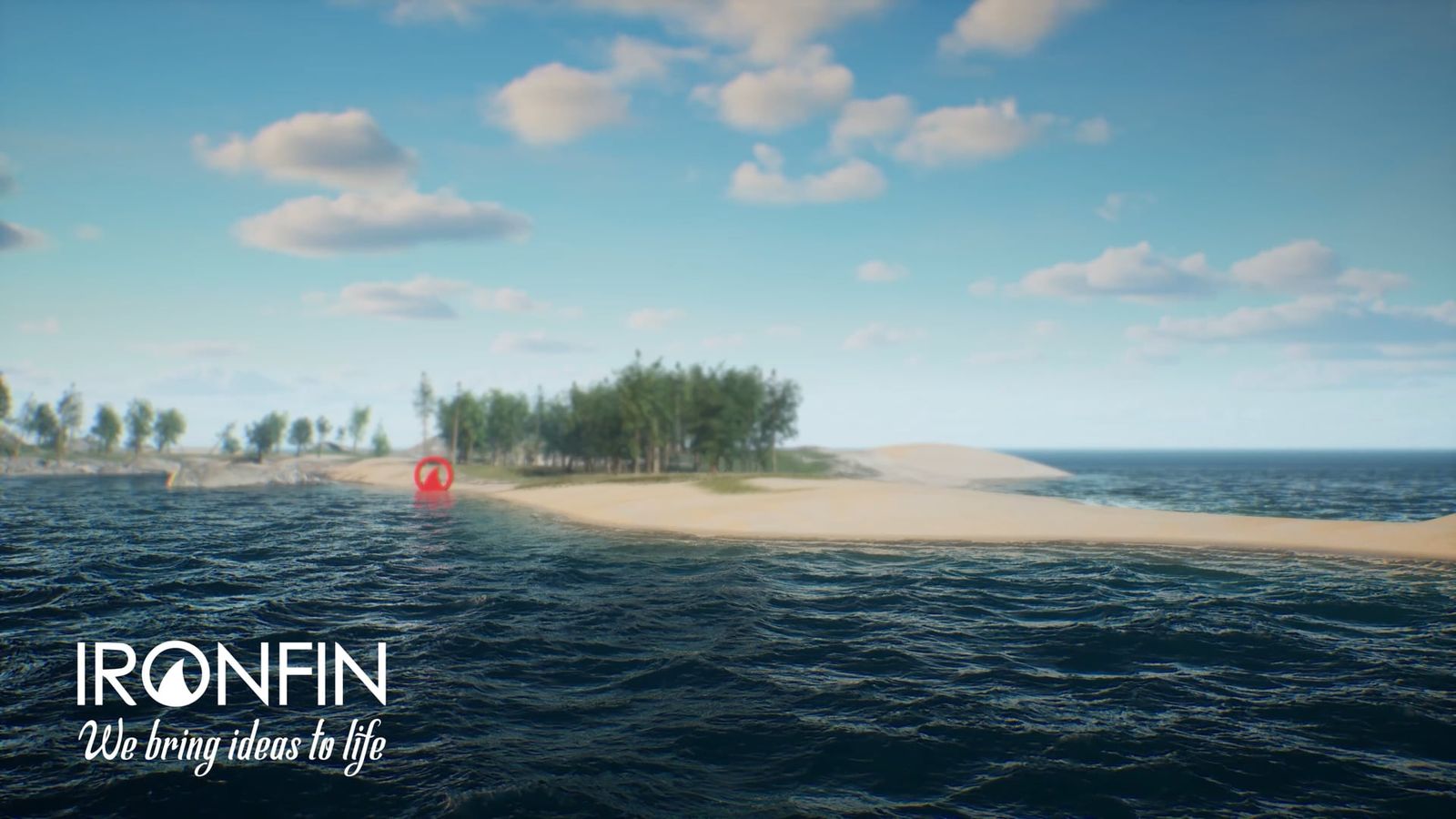
Simulated water around a sand spit, with trees on the point beyond
Closure & reclamation

Water visualization.

Physically simulated water: flow, fill, and interaction with terrain. Watershed and waterway analysis becomes something a room can watch rather than a set of figures to interpret.

Source data: Aerially scanned terrainMethod: Water physics simulationDeliverables: Animation

Challenge

Water behaviour can be one of the hardest things to convey in a static drawing, and it can be central to a technical or regulatory review.

Solution

Physics-based water simulation integrated with accurate terrain models.

Impact

Helps reviewers understand water behaviour visually rather than relying on abstract descriptions alone.

Simulated water washing over a sand spit with trees behind it, wave detail resolved at the waterline
SIMULATED WATER MEETING SCANNED SHORELINE TERRAIN
Simulated open water under mist, with a low island and shoreline in the middle distance
SURFACE BEHAVIOUR ACROSS OPEN WATER

Start with a location and whatever reference material you have.

That’s usually enough for us to start scoping the project. We’ll come back with an approach, the technical inputs we need, a timeline, and a quote.