
Capabilities
Landscape scans & photogrammetry.
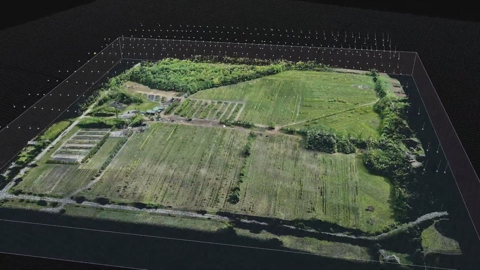
The terrain in our models is the real terrain. A drone captures the site as high-resolution imagery, which becomes a measurable 3D model and large-format printouts a planning team can work from.
Challenge
A visualization is only as trustworthy as the ground it’s built on.
Solution
Drone photogrammetry captures sites as measurable 3D terrain, providing the foundation for many of Ironfin’s site-based visualizations.
Impact
Gives a project team a measurable 3D record of the site to plan against and to build later visualizations on.


