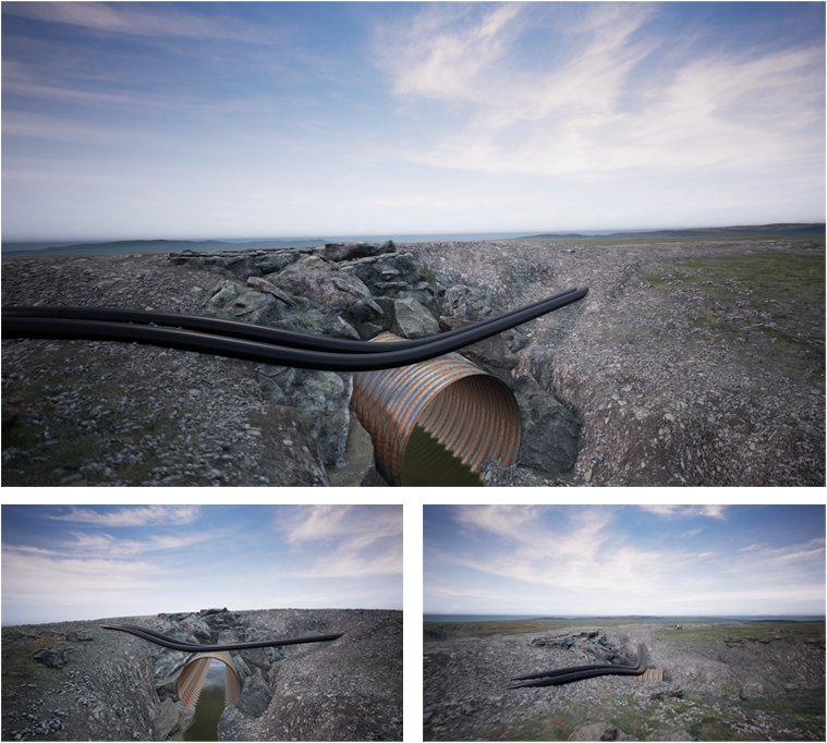
Culvert
Community and government stakeholders wanted to know how a set of pipes running along a road would intersect with streams bisecting the road. Ironfin created an environment showing (to scale) elements like pipes, culverts, and roads. While there was no need for topographical information to generate this landscape, an actual section of road was used as reference with photographs and satellite images employed to ensure as much accuracy as possible.